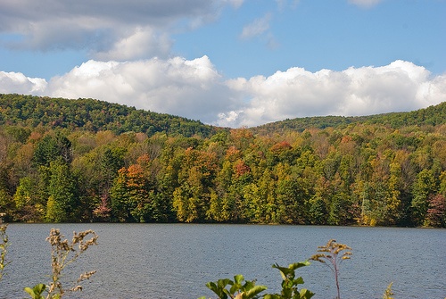
Cheshire Reservoir Fishing Spot
- Acreage: 418
- Public Fishing: Yes
- Elevation: 1040'
- Bathymetry Map: View Cheshire Reservoir Bathymetry Map
- Last Modified By: nik_zarvis on 07/19/12 03:58 PM
- Ask about Cheshire Reservoir in our Fishing Forums
Photos
Fish Species
Comments
-
Yah great place to fish!! living in north adams mass as a kid i remember my brothers and me on top water bassin, with the old black metal jitter bugs!!
-
Update on access: The north lake now had a Nice paved boat and this has increased fishing pressure as well has High speed boats. All good things must come to an end but this is still a great place. Just avoid weekends and hot evenings.
Cheshire Reservoir Baits and Tackle
Minnow Check Prices
- Large Shiner on a tip up.
- Medium to large minnows on a tip up
Cheshire Reservoir Description
This 418-acre, privately owned lake, located on the western side of Route 8, is also known as Hoosac Reservoir. It is divided into three basins by a pair of causeways. The south basin is extremely shallow, the middle basin has a maximum depth of about six feet, and the north basin has a maximum depth of nine feet. Transparency is fair throughout, running about eight feet. Submerged aquatic vegetation is extremely abundant in all three basins, choking up the surface area for much of the summer. The shorelines of the south and middle basins are undeveloped, but the western shore of the north basin is heavily developed with summer cottages and permanent homes. Access for boat fishermen is poor, being limited to an informal dirt ramp located on the north end of the north basin just off Route 8. The other two basins can be accessed with car top boats or canoes launched from the causeways. (Given the weed situation, we recommend the canoe.) Shore fishing access is good thanks to the causeways and a railroad bed running along the eastern shore. Fish Populations: largemouth bass, yellow perch, pumpkinseed, bluegill, rock bass, black crappie, brown bullhead, white sucker and golden shiner. Chain pickerel and northern pike are also known to be present.