Lake Attitash Fishing Spot
- County: Essex - Merrimac MA
- Acreage: 360
- Public Fishing: Yes
- Mean Depth: 11'
- Max Depth: 30'
- Elevation: 91'
- Bathymetry Map: View Lake Attitash Bathymetry Map
- Website: http://www.mass.gov/dfwele/dfw/habitat/maps/ponds/pdf/dfwatti.pdf
- Last Modified By: vinny60 on 08/16/09 10:53 PM
- Ask about Lake Attitash in our Fishing Forums
Photos

Fish Species
Comments
-
good place to fish just wish they kept that boat ramp open
-
my friend saw 2 bald eagles there
-
Lake Attitash unfortunately has Invasive Eurasian MillFoil. Avoid fragmenting the weeds by keeping boat props and lines from fragmenting plants. This allows it to spread fast and will choke the lake for fish!
-
Check this place out if you can.
It's a pretty good place to fish.
Lake Attitash Baits and Tackle
Casting & Trolling Spoon Check Prices
Other Check Prices
- Bread
Crankbait Check Prices
- #3 crank bait dark colored
- dark colored with red
Strike king #3 - and senkos too
Spinnerbait / Buzzbait Check Prices
- Dark Colors
- Giant white double bladed buzzbait
Bass Jig Check Prices
- Brown jig with a black n blue trailer. Chigger craw
Lake Attitash Description
This shallow, 360-acre artificial lake has a maximum depth of 30 feet and an average depth of 11 feet. The shoreline is extensively developed; roads and cottages, two or three rows deep in places, virtually ring the entire lake. There are literally hundreds of boats of all types and sizes. The only significant weed beds are located in the inlet and outlet coves.
Access is provided by an excellent Public Access Board parking lot and launching ramp. The parking lot can accommodate nearly two dozen vehicles.
The last fisheries survey – conducted in 1978 – located nine of the 11 species known to be present in this water. Largemouth bass and chain pickerel are common and appear at least moderately fished. Pumpkinseeds dominate the fishery, although white perch and brown bullhead are very common.
Northern pike were stocked here in 1979, 1985, 1986 and 1988, and will continue to be stocked in the future.
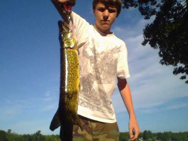
Although Attitash is a good largemouth bass and chain pickerel water, it is primarily known as one of the best northern pike waters in the Northeast District. Pike in excess of 20 pounds have been reported from here.
The heavy recreational use this lake supports during the summer months basically precludes fishing. However, bass and panfish anglers enjoy good action during the spring and fall months, and ice fishermen avidly pursue the pike resource in winter. Fishing pressure is particularly high during the winter. Various local tournaments often bring out crowds of ice fishermen on weekends.
Lake Attitash is a lake located on the border of Merrimac, Massachusetts and Amesbury, Massachusetts, and constitutes at least a portion of Amesbury's water supply.