Lake Denison Fishing Spot
- County: Worcester - Winchendon MA
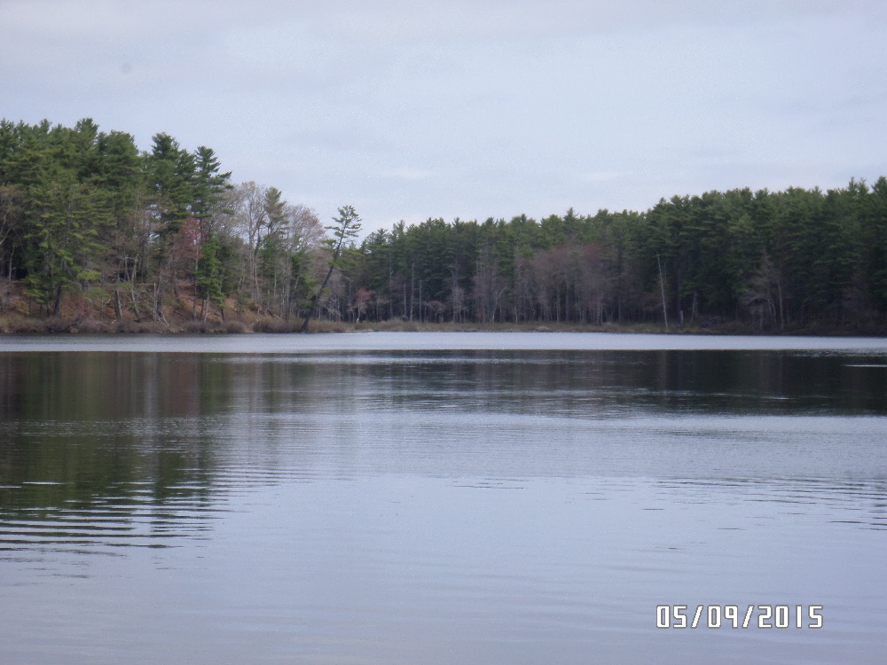
- Acreage: 85
- Public Fishing: Yes
- Mean Depth: 8'
- Max Depth: 15'
- Bathymetry Map: View Lake Denison Bathymetry Map
- Website: http://www.mass.gov/dfwele/dfw/habitat/maps/ponds/pdf/dfwdeni.pdf
- Last Modified By: vinny60 on 06/25/15 04:31 PM
- Ask about Lake Denison in our Fishing Forums
Photos

Fish Species
Comments
-
Not a problem. Just hope it works out for ya! The biggest thing I like too is that you can fish like 75%+ of the shoreline on foot and dont even really need a boat. Erving State Forest I havent been to and dont know anything about. The only two places ive tried up there is Lake Denison and the one right next to it which is Otter River State Forest Campground. DO NOT go to Otter River....HUGE DISAPPOINTMENT! They said theirs fishing there....we get there and u literally can cast across the pond! And didnt catch anything! We only went last year because Lake Denison closed early due to the Hurricane damage. The only good thing was that its right next door so we stayed at Otter but went to Denison every day to fish. The other place ive been wanting to try is Asnacomet Pond but I cant really find a place to camp over there. Theres tons of little ponds and stuff right around it too. Have you tried over there?
-
Thanks man ! I put that in there back in July...pretty much forgot about it til your post...I LOVE that area of the state...and thanks to you...Dennison IS now on the "list" for next season FOR SURE ! and good to know about the camp-ground...I'd considered Erving State Forest for my campsite also...any thoughts on that ?
-
riverrat82 - I know the lake well enough. Me and my father-in-law went up there for two weekends last summer and killed it! Between me, him, and his friend we caught 100+ fish all together. Theres some nice size bass in there! Especially on the park side of the lake (opposite the campground)! Its a no motorized boat lake so its nice but u can use a trolling motor. @Retired950 - They have a very nice boat ramp for car top boats, canoes, etc. I would highly recommend this place! Ive also heard from locals that its a GREAT ICE FISHING SPOT TOO!!! Just keep it in mind.
-
Does anyone know this lake well? I'm thinking of putting it on my "hit-list"
-
Does this pond have a spot to put in a cartop boat? It's on my list of ponds to fish in Central Mass. (2009)
Lake Denison Baits and Tackle
Grub Check Prices
- Yamamoto Twin Tail Grub
Booyah Frog - Yamamoto 5" Double Curly Tail Grub, Green with Red Flakes
Also caught on KVD 5" Caffeine Shad Paddle Tail Swimbait
Soft Swimbait Check Prices
- KVD Caffeine Shad paddletail swimbait.
Lake Denison Description
This 85-acre lake in Winchendon averages eight feet in depth with a maximum depth of 15 feet. The shore is undeveloped because the area is part of the Birch Hill Flood Control Project under the jurisdiction of the U.S. Army Corps of Engineers. Adjacent to the north and east shores is a large camping area. Boats can be launched at the public gravel ramp located off Royalston Road on the western shore. Parking space is available for eight to ten vehicles. Note: outboard motors larger than 10 hp. are prohibited. Aquatic vegetation is scant, dominated by scattered clusters of lily pads in the shallower areas. The pond averages about 9.0 feet in transparency; the water is very light brown in color. Fish Populations: largemouth bass, chain pickerel and rainbow trout. A variety of panfish are present including white perch, yellow perch, black crappie, bluegills, pumpkinseeds, brown bullheads and yellow bullheads.
Lake Denison is a fairly small lake, one that can be fished from shore or boat quite effectively and easily. Shore fishing for trout should prove successful in late spring, close to the time of stocking. However, once warmer temperatures arrive, these fish will seek the deeper, colder areas, which will probably necessitate fishing for them from a boat. Bass fishing should be interesting at this pond. Work the weedy areas and especially anything affording hiding cover to these structure-oriented fish. This lake is also a good spot to try for chain pickerel action.