Flax Pond Fishing Spot
- County: Essex - Lynn MA
- Acreage: 71
- Public Fishing: Yes
- Mean Depth: 14'
- Max Depth: 29'
- Bathymetry Map: View Flax Pond Bathymetry Map
- Website: http://www.mass.gov/dfwele/dfw/habitat/maps/ponds/pdf/dfwflax2.pdf
- Last Modified By: carpmaster on 02/13/10 08:39 PM
- Ask about Flax Pond in our Fishing Forums
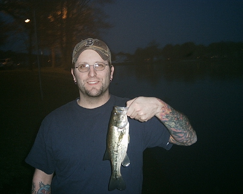
Photos
Fish Species
Flax Pond Baits and Tackle
Wet Fly Check Prices
Live Bait (Other) Check Prices
- Sea worm
Lure (Other) Check Prices
- Rooster tail
Other Check Prices
- The trout tend to hang in the area I marked on the map.
- Senkos, jitterbug, and KVD 1.5 sunfish color.
In-Line Spinner Check Prices
- 1/6oz Rooster Tail - Brown Metallic
- 1/8oz Rooster Tail
Worm Check Prices
- 4inch black senko wacky rigged.
- Two 1lbers, and 4 others between 10"-12" off docks, and oeverhanging brush
- Soft Plastic
- Gulp red "bloodworms"
Lizard Check Prices
- YUM 6" Chartreuse Lizard
Jerk Bait Check Prices
Tube Check Prices
- Tube and huge sea worms
Bass Jig Check Prices
Flax Pond Description
This relatively fertile, 71 acre pond is located just north of Route 129 in Lynn. It
has a maximum depth of 29 feel and an average depth of 14 feet. The bottom is mostly
rubble and sand, providing good, solid footing for shoreline wading. Transparency is
seven feet and aquatic vegetation is fairly abundant. Development in the surrounding area
is moderate to heavy, and numerous roads (not shown on map) branch toward the pond
from Broadway and Western Avenue.
Access for cartop boats and canoes is provided by off Magnolia Street. There are at
least four other foot access sites around the pond, and boats could also be launched from
some of these. All available parking is multiple use, so some access sites may not be
available at certain times on certain days, but through a little trial and error any angler
can always find access.
The last fisheries survey of this pond, conducted in 1980, recorded seven species:
largemouth bass, yellow perch, white perch, black crappie, pumpkinseed, bluegill and
golden shiner. Several good bass were sampled. Both species of perch show good growth
rates, and many in the 10 inch range were sampled. The golden shiners undoubtedly
provide the forage base in this environment.
Like many urban ponds, this one is largely shunned by local fishermen in favor of
waters with more natural settings or greater fame. As a result, fishing pressure is
relatively light, and bass and perch grow to large (though rarely trophy) size. Bass and
panfish anglers should find plenty of action here, but due to potential conflicts with
other users during the summer, spring and fall fishing is recommended. This pond also
appears to be a good prospect for ice fishing.